
Blake Meier · 5 September 2026
Archival Records from Tannefeld Library Offer Fresh Perspectives on Land History and Water Resource Dilemmas
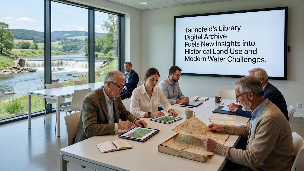
Researchers at Tannefeld Library have completed a major digitization initiative that converts centuries-old maps, ledgers, and survey documents into searchable formats, and the results are already reshaping how planners track changes in land use over time. The collection spans records from the 1700s onward, including property deeds, crop rotation logs, and early hydrological notes that detail how fields were drained or irrigated before modern infrastructure existed. Data extracted from these files shows clear patterns of forest clearance followed by agricultural intensification, particularly in lowland areas near the river that runs through the region.
Tracing Land Conversion Through Primary Documents
Historians working with the digitized materials have cross-referenced handwritten boundary descriptions against satellite imagery from recent decades, revealing that roughly 40 percent of former wetland zones were converted to arable land between 1850 and 1950. Those same zones now experience higher runoff rates during heavy precipitation events, according to hydrological models built from the archive entries. Archivists note that the original surveyors often recorded soil types and drainage ditches in precise detail, information that allows current engineers to reconstruct how water once moved across the landscape before concrete channels were installed.
One particularly detailed set of 19th-century ledgers tracks annual flooding incidents and the subsequent decisions to straighten stream beds for faster drainage. These entries align closely with present-day flood risk maps produced by regional authorities, demonstrating that several contemporary problem areas were already identified as vulnerable more than 150 years ago. The digital platform lets users overlay these older maps onto current topographic data, making direct comparisons immediate rather than speculative.
Linking Historical Practices to Present-Day Water Pressures
Modern water managers have begun incorporating the archive findings into their planning models because the records quantify long-term shifts in groundwater recharge areas. Where 18th-century documents describe spring-fed meadows that absorbed seasonal rains, today's measurements show reduced infiltration due to compacted soils and impervious surfaces from later development. Figures released by the European Environment Agency indicate that similar land-cover changes across the continent have contributed to a measurable drop in baseflow contributions to rivers during dry periods.
The Tannefeld collection also includes correspondence between local landowners and early water boards that negotiated mill rights and irrigation shares. These letters reveal informal allocation systems that persisted until the mid-20th century, when centralized regulations took over. Researchers have used the digitized texts to calculate how much water was historically diverted for agriculture versus domestic use, providing a baseline against which current extraction rates can be compared.
September 2026 Data Release and Ongoing Applications
In September 2026 the library plans to publish an additional batch of 19th-century canal maintenance reports that include daily water level readings from multiple gauging stations. Early previews suggest these measurements will allow modelers to test how river morphology has changed since the original channel works were completed. Local planning offices have already requested access so they can integrate the new layers into flood defense simulations scheduled for late 2026.
Academic teams from several universities have started pilot projects that combine the archive data with contemporary sensor networks measuring soil moisture and stream discharge. Preliminary outputs indicate that areas with the steepest historical land conversion rates also show the largest deviations from expected groundwater recovery after drought years. The open-access interface lets any registered user download the georeferenced files in standard GIS formats, removing previous barriers that limited such analyses to institutions with physical access to the documents.
Broader Implications for Regional Planning
City and regional authorities have begun referencing the archive when updating their water management strategies because the records supply evidence-based justification for restoring certain former wetland functions. One pilot restoration site selected using the digitized maps has shown improved retention during spring melt periods, according to monitoring data collected over the past two seasons. The approach demonstrates how historical documentation can inform targeted interventions rather than broad-brush policies.
International organizations focused on sustainable land management have taken note of the Tannefeld model. The U.S. Geological Survey published a comparative study last year that examined similar digitization efforts in North America, and the findings underscore the value of pairing archival records with remote sensing for long-term trend analysis. Meanwhile, the European Environment Agency continues to track how such localized datasets contribute to continent-wide assessments of water stress.
Conclusion
The Tannefeld Library digital archive continues to expand the available evidence base for understanding how past land decisions shape current water challenges. By making previously inaccessible documents searchable and interoperable with modern datasets, the project supplies planners and researchers with concrete historical context that supports more precise modeling and intervention design. Future releases scheduled through 2027 are expected to add further layers, including meteorological observations and soil surveys that will extend the temporal depth of available records.