Freya Frank · 19 September 2026
Revitalizing Tannefeld's Past: Archival Clues Shape Responses to Water and Housing Pressures
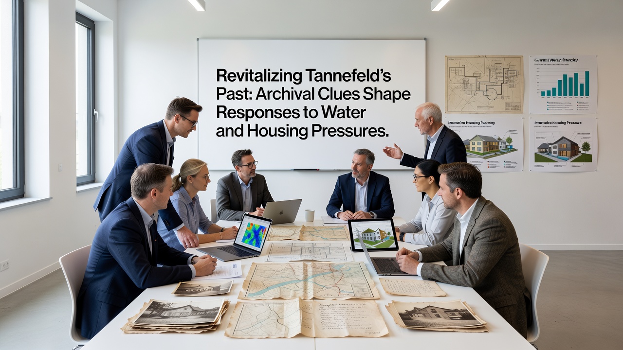
Archival materials stored in Tannefeld's library collections have provided detailed records of past land use, water flow patterns, and settlement decisions that now guide current planning efforts for housing expansion and water resource management, and researchers have cross-referenced these documents with modern environmental data sets to identify patterns that repeat across decades.
Historical Records Reveal Long-Term Water Trends
Documents dating back to the early 20th century show how Tannefeld's original drainage systems were designed around seasonal flooding cycles that affected both agricultural fields and early residential zones, while maps from the 1930s illustrate the placement of wells and irrigation channels that later became buried under subsequent development layers. Those records indicate that water availability fluctuated significantly during periods of rapid population growth, and local authorities at the time adjusted housing layouts to avoid low-lying areas prone to saturation after heavy rains.
Analysis of property deeds and council minutes from the 1950s through the 1970s demonstrates repeated concerns about groundwater depletion near expanding neighborhoods, yet solutions often focused on short-term infrastructure fixes rather than long-term conservation strategies. Researchers have noted that these earlier approaches left gaps in protection for certain aquifer recharge zones that still influence today's water supply calculations.
Integrating Archives with Contemporary Planning
City planners began incorporating digitized versions of these archival findings into housing site evaluations in 2024, and the process accelerated when new satellite imagery confirmed that several proposed development parcels overlapped with historically sensitive water retention areas. The integration allows teams to model potential runoff impacts using both historical flood data and current precipitation trends, which produces more precise risk assessments for each location under consideration.
Public records from the Tannefeld municipal archive further detail how 19th-century land divisions created narrow corridors that once served as natural drainage paths, and modern housing proposals now account for restoring or preserving portions of those corridors to reduce pressure on existing stormwater systems. This approach draws directly from evidence preserved in survey notes and engineering sketches that predate current zoning maps.
September 2026 Data Release and Next Steps
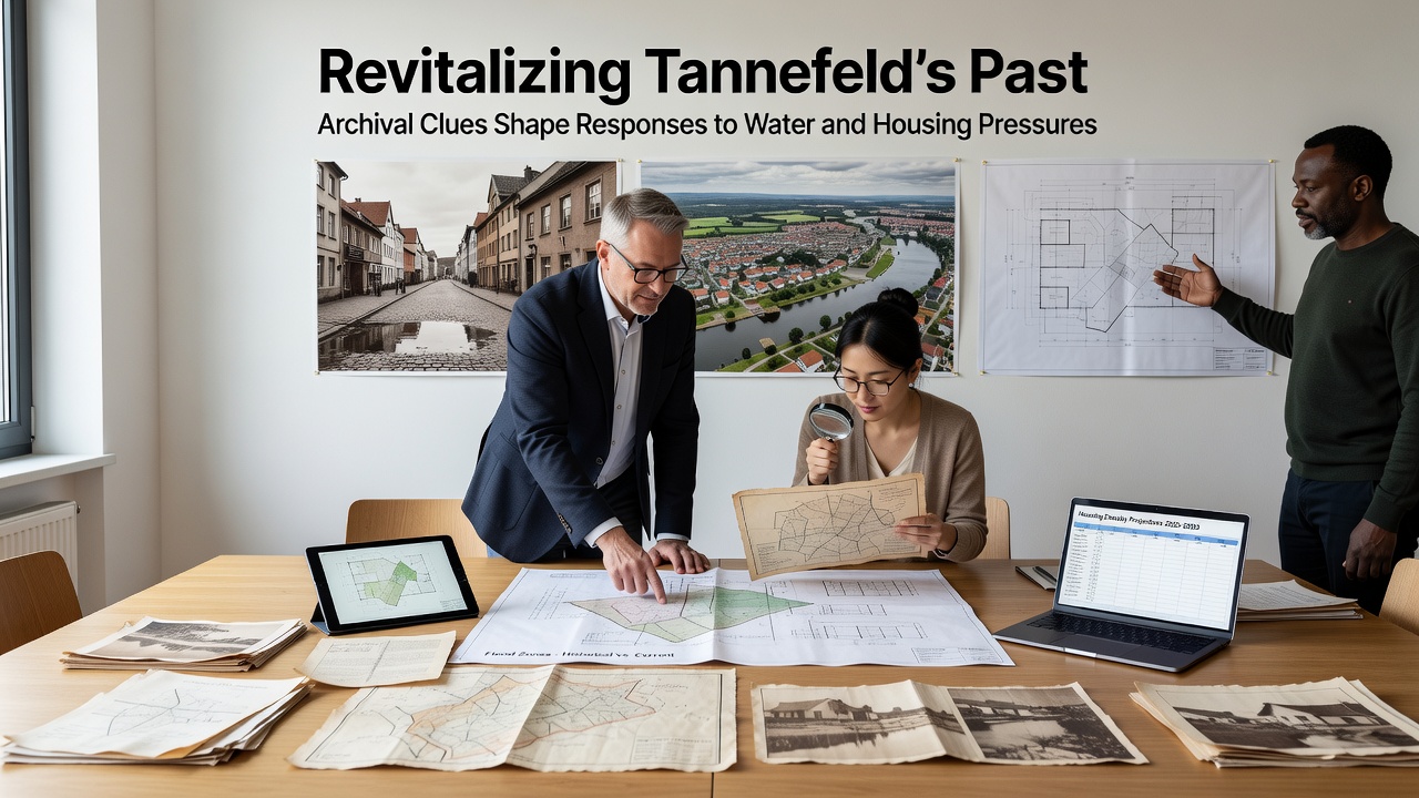
A comprehensive report scheduled for release in September 2026 will compile findings from the ongoing archival review alongside updated hydrological modeling, and the document is expected to outline specific zoning adjustments for three priority housing zones while recommending buffer zones around documented recharge areas. According to European Environment Agency water management summaries, similar methods have supported sustainable development decisions in other mid-sized European communities facing comparable pressures.
Additional cross-checks with regional climate projections show that historical drought cycles documented in the archives align closely with recent dry periods, which strengthens the case for incorporating those patterns into long-range housing density calculations. Local teams continue to scan and index additional ledger books and correspondence files that may contain further details on past infrastructure decisions.
Broader Applications for Resource Management
Observers have pointed out that the same archival methods applied to water issues also illuminate housing construction techniques that performed well during earlier periods of material scarcity, and several of those techniques are being evaluated for potential updates in new affordable housing projects. Data from the Tannefeld planning department indicates that three pilot sites have already incorporated elements derived from these historical building records.
Studies conducted by Statistics Canada on urban water infrastructure provide comparative benchmarks that help place Tannefeld's challenges within wider North American contexts, and planners reference those benchmarks when calibrating their own models. The process continues to evolve as more documents are catalogued and linked to geographic information systems used by the municipal government.
Conclusion
Archival evidence continues to supply concrete reference points for balancing housing growth with water system capacity in Tannefeld, and the methodical review of historical records has become a standard component of the planning workflow. Ongoing digitization efforts and the upcoming 2026 report are expected to refine these approaches further while maintaining focus on documented past conditions that remain relevant to present decisions.