Blake Meier · 31 October 2026
Tannefeld's Bypass Blueprint: How Route Tweaks Could Reshape Commutes and Neighborhood Growth
Urban planners in Tannefeld have advanced a bypass blueprint that adjusts several key routes around the city center, and these changes stand to alter daily travel patterns while influencing how neighborhoods expand over the coming decade. The project focuses on three primary corridors where minor realignments and new connector segments aim to reduce congestion at major intersections. Data from the local transport authority shows average commute times during peak hours have increased 18 percent over the past five years, prompting the current set of tweaks rather than a full-scale highway construction effort.
Route Adjustments and Their Mechanics
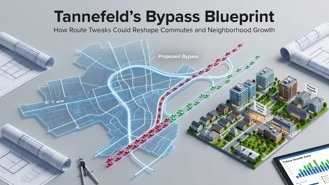
The blueprint identifies the eastern corridor along the riverfront as the first area for modification, where a new service road would divert heavy vehicles away from residential streets that currently handle overflow traffic. Engineers have mapped out two additional segments on the western side that connect existing industrial access roads to the main ring route, creating a continuous loop that bypasses the central business district entirely. According to preliminary models released by the Tannefeld Planning Office, these adjustments could shift approximately 12,000 vehicle trips per day onto the new paths once fully operational.
Researchers at the regional university's transportation lab have run simulations that factor in both current traffic volumes and projected population growth through 2035, and their findings indicate the combined effect of the three route changes would lower average speeds on inner-city streets by roughly 8 kilometers per hour during morning rush periods. The plan avoids large-scale land acquisition by using existing right-of-way wherever possible, which keeps costs contained while still delivering measurable relief at bottlenecks.
Effects on Daily Commutes
Commuters traveling between the northern suburbs and the southern employment zones stand to see the most direct benefits from the revised routing, because the new connectors reduce the need to pass through three signalized intersections that now create recurring delays. Public transit routes may also benefit indirectly, since buses sharing the same corridors would encounter fewer private vehicles during peak times. Observers note that similar adjustments in comparable mid-sized European cities have produced travel time savings of 10 to 15 minutes on routes of equivalent length.
Yet the changes will require drivers to adapt to new signage and occasional detours during construction phases scheduled to begin in stages. The first phase targets the eastern service road and is set to start groundwork in October 2026, with completion targeted for late 2027. Subsequent phases on the western connectors follow in 2028, allowing time for traffic monitoring after each segment opens.
Neighborhood Growth Patterns
Alongside commute shifts, the bypass blueprint carries implications for how residential and commercial development spreads in surrounding districts. Areas previously limited by through-traffic volumes could see increased housing density once vehicle flows move to the outer corridors, and zoning officials have already begun reviewing density bonuses for parcels within 400 meters of the proposed connectors. Historical records from the Tannefeld municipal archive show that earlier road improvements in the 1990s triggered measurable upticks in building permits within two years of completion, and planners reference those patterns when projecting current outcomes.

Real estate analysts tracking parcel values note that land prices near the western corridor have risen 6 percent since the blueprint's public release last spring, while parcels directly adjacent to the existing inner ring have remained stable. This divergence suggests developers are already positioning for easier access once the bypass segments open. Agricultural land on the city's fringe may convert more readily to mixed-use projects because the new routes improve connectivity without cutting through established neighborhoods.
Data Sources and Comparable Cases
Figures compiled by the European Commission's transport directorate indicate that targeted route optimizations in mid-sized cities often yield greater per-kilometer efficiency gains than entirely new roadways, and Tannefeld's approach aligns with that broader evidence. A study conducted by the University of Melbourne's urban planning faculty examined analogous bypass modifications in three Australian regional centers and documented consistent reductions in both travel times and local air pollution concentrations within three years of implementation. Those findings have informed Tannefeld's decision to prioritize incremental adjustments over larger infrastructure investments.
Local businesses along the current main thoroughfares express interest in how reduced through-traffic might affect customer access, though the blueprint includes provisions for maintaining delivery vehicle lanes and short-term parking zones. Monitoring stations installed at key intersections will collect baseline data before construction begins, allowing direct comparison once the first segment opens in October 2026.
Conclusion
The Tannefeld bypass blueprint represents a measured response to documented traffic growth and land-use pressures, and its phased rollout will provide ongoing data on how small-scale route changes influence both mobility and neighborhood development. Continued tracking by municipal agencies and independent researchers will clarify the extent of these shifts as each segment becomes operational.